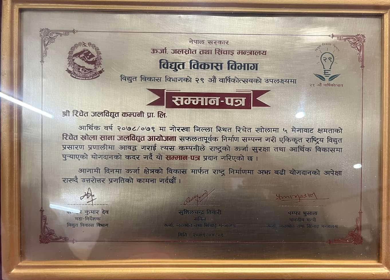
The Richet Khola Small Hydropower Project is a completed run-of-river hydropower project with an installed capacity of 4.98 MW. It utilizes a design discharge of 2.25 m3/sec and a rated net head of 258.15 m. The project is located in the Manbu and Kasigau VDCs of Gorkha District, Gandaki Zone, in Nepal’s Western Development Region. Annually, it is capable of delivering 27.27 GWh of energy to the NEA Salyantar Substation in Dhading.
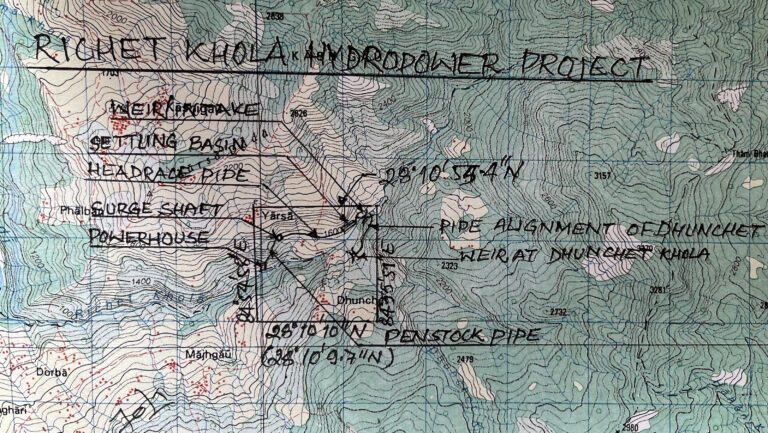
The project’s headworks site is situated at Yarsa Phedi, Ward No. 9 of Kasigaun VDC. The powerhouse is located approximately 400 m downstream from the confluence of the Richet Khola and Dhunchet Khola, on the right bank at Yarsa Phedi, also in Ward No. 9 of Kasigaun VDC. The Richet Khola catchment area is about 40.83 km2 at the project intake and 46 km2 at the powerhouse location.
Access to the project area is from Dhading Besi, the district headquarters of Dhading, which is approximately 90 km west of Kathmandu. An earthen road provides year-round access up to Arughat Bazaar in Gorkha district, with regular public transportation available (jeeps, trucks, trippers, and tractors). From Arughat Bazaar, an earthen road, about 30 km long, leads to Polchet in Manbu VDC; however, this section is only functional during the dry season. An additional 6 km access road from Polchet to the project site was constructed prior to the project’s completion.
| Development region | Western |
| Zone | Gandaki |
| District | Gorkha |
| District headquarter | Gorkha Bazaar |
| VDCs | Manbu and Kasigaun |
| Project location | |
| Longitude | 84o 54’ 05” to 84o 55’ 51” East |
| Latitude | 28o 10’ 9.7” to 28o 10’ 55.4” North |
| Type of scheme | Run of river (RoR) |
| Source river | Richet Khola |